About Krambach
Krambach is a village in the MidCoast Council area. It lies on the Bucketts Way, south-west of Taree on the Mid North Coast, and had a population of 382 at the 2021 census.
Its farmers markets have been listed for the third Sunday of each month, from 8am to noon. Check before you go, as market days change.
Where is Krambach?
Krambach is in the MidCoast Council area on the Mid North Coast of New South Wales.
Nearby towns with hubs on OurHub, with straight-line distances: Burrell Creek (12 km north), Nabiac (12 km south-east), Coolongolook (19 km south), Tinonee (19 km north-east).
What the Krambach directory lists
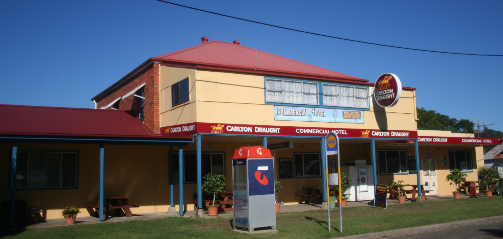
To eat and drink: Krambach Hotel. Shops and services: Krambach Post Office. Parks, beaches and recreation: Krambach Pool, Leo Carney Park.
Schools and learning: Krambach Public School. Emergency services: Krambach Rural Fire Brigade.
Get in touch
A question, something out of date, a group to link, or the keys to this hub: send it here and someone at OurHub will get back to you.
Photo: “Hotel at Krambach - panoramio” by Rob Freijs (CC BY-SA 3.0), via Wikimedia Commons. Town facts: Wikipedia (CC BY-SA 4.0), which cites the Australian Bureau of Statistics census. Straight-line distances are worked out from the hub’s coordinates. Directory locations © OpenStreetMap contributors (ODbL).